Window mode follows your eyes with your camera, in this browser only: no picture or position leaves your device.
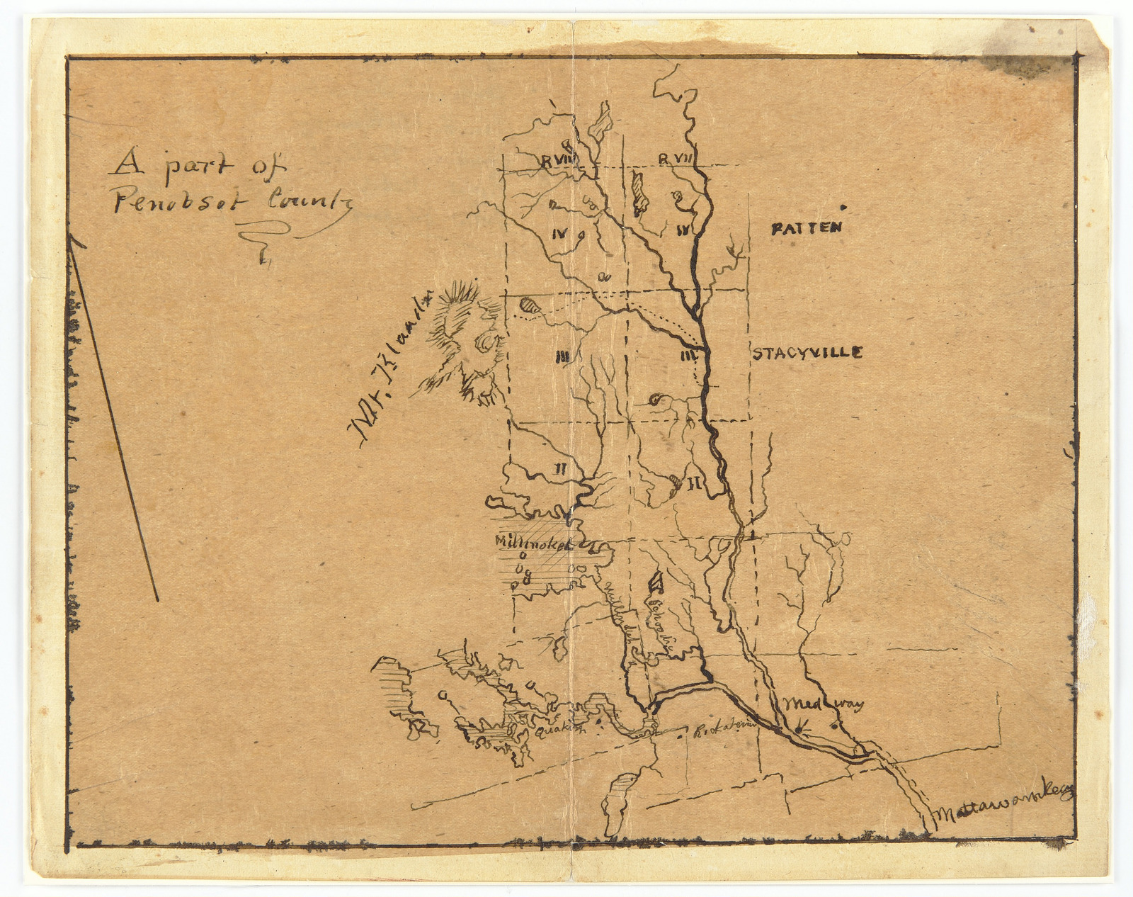
Map of a Part of Penobscot County, Maine
Frederic Edwin Church (American, 1826–1900)
1876–81
- Medium
- Pen and ink on off-white wove paper, mounted on board
- Classification
- Ephemera
- Dimensions
- 20 × 25.2 cm (7 7/8 × 9 15/16 in.)
- Culture
- USA
- Museum
- Smithsonian Institution, Cooper Hewitt, Smithsonian Design Museum
- Credit line
- Gift of Louis P. Church
- Rights
- CC0 (Smithsonian Open Access), as the museum states it.
- Who can see it
- Little Ones profiles and older: it shows gentle subjects for the very young. How works are placed
View at the Smithsonian Institution
About this work
Sketch of a map showing a part of Penobscot County in Maine, used for one of the artist's trips to Mt. Katahdin, which is prominently featured at center. Other natural features, such as Millinocket Lake or the East Branch of the Penobscot River, and towns, such as Medway and Mattawamkeag, in the region are clearly delineated and labeled. Heavy focus on the area's river system, which resembles veins and capillaries.