Maps
1–48 of 27,260 works from the world's open-access collections. See them as a slideshow
 Woman Reading a Letter
 Heraclitus
 Democritus
 Amsterdam as the Centre of World Trade
 The Married Couple Abraham Casteleyn and Margarieta van Bancken
 Portrait of a Member of the Van der Mersch Family
 The Trading Post at Dejima
 Gebed voor de maaltijd
 Atlas
 Tsuzoku Suikoden Goketsu Hyakuhachi-nin no Hitori (108 Heroes of 'The Water Margin' in Popular Translation)
 Map met herinneringsfoto's van het bezoek van gouverneur-generaal B.C. de Jonge aan Semarang in 1932
 Lewis Carroll - Henry Holiday - Hunting of the Snark - Plate 4
 Adams Synchronological Chart, 1881
 L'Exposition universelle de Paris, 1889
 Carte de Brest - ca 1700 - Bibliothèque Nationale de France - Btv1b8439976x
 Cellarius ptolemaic system
 "The entire world in the shape of a clover-leaf, which is the emblem of the city of Hannover, my beloved homeland"
 L'Atlas curieux ou le Monde réprésenté dans des cartes générales et particuliéres du ciel et de la terre, p. 11 (cropped)
 Insula Maioricae Vicentius Mut 1683
 4Fi00011 Antoine Aveline ca 1700 vue cavalière de la ville de Brest
 Map of South America, 1593
 Africa, with all its States, Kingdoms, Republics, Regions, Islands, & cca. Improved and Inlarged from D’Anville’s Map: to which has been added A Particular Chart of the Gold Coast wherein are Distinguished all the European Forts, and…
 Scandinavia complectens Sueciae Daniae & Norvegiae Regna ex Tabulis Joh. Bapt Homanni Norimbergae.
 (Map of the complete island of Cuba). LOC 2003623399
 Daedongyeojido-full
 Exposition universelle de Paris, 1900
 Map of the Countries Between England & India, 3902002
 Gviana siue Amazonvm Regio.
 Icy est le vrai pourtraict naturel de la ville, cité, université de Parisy, Rossingol execut.1576
 Alexander von Humboldt - Diagram of a cross-section of the earth's crust - rectified
 Plan La Rochelle et environs, 1773, Nicolas Chalmandrier, BNF Gallica
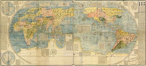 坤輿萬國全圖
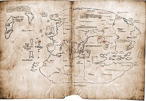 Vinland Map HiRes
 World Map 1689
 1583 portrait of Sir Francis Drake
 Ethnographic map of austrian monarchy czoernig 1855
 Plan du port et de la ville de Brest avec une légende historique.
 Mapa geológico de España y Portugal / por el ingeniero de minas D. Federico de Botella y de Hornos... ; la parte geográfica por D. Francisco Coello
 The City of Brooklyn
 Illustrative Map of Human Life Full TItle: An Illustrative Map of Human Life Deduced from passages in Sacred Writ
 Esquisse d'une carte géologique d'Italie
 Wandkarte von Süd-West-Deutschland
 America noviter delineata
 Fighting for the Dunghill - or - Jack Tar settling Buonaparte
 Vue officielle a vol d'oiseau de l'exposition universelle de 1867
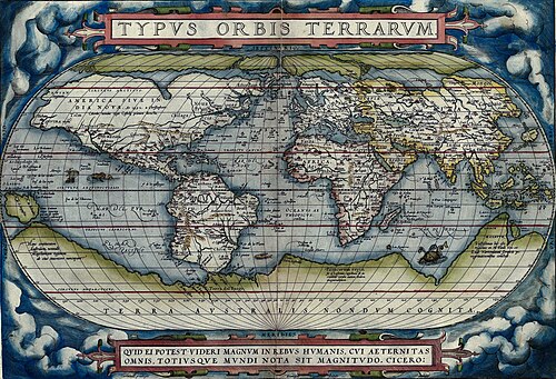 OrteliusWorldMap
 Shiviti
 Lutetia Parisiorum vulgo Paris