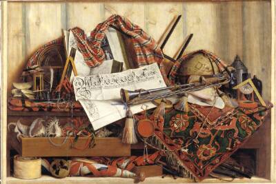
Map of the Countries Between England & India, 3902002
1855
- Classification
- Painting
- Museum
- Wikimedia Commons
- Credit line
- https://www.davidrumsey.com/luna/servlet/detail/RUMSEY~8~1~348576~90116150
- Rights
- Public domain, as the museum states it.
- Who can see it
- Little Ones profiles and older: it shows gentle subjects for the very young. How works are placed
About this work
Map of The Countries Between England & India Designed to shew the Over-Land And Sea-Routes To The East, The Line Of Communication With Our Indian Possessions and the relative position of Russia To England & Hindostan By James Wyld. London, Published by Jas. Wyld, Geographer to the Queen & H.R.H. Prince Albert, Charing Cross, East & Model of the Earth Leicester Square. (inset) Sketch From England To China., 3902002, London.