Window mode follows your eyes with your camera, in this browser only: no picture or position leaves your device.
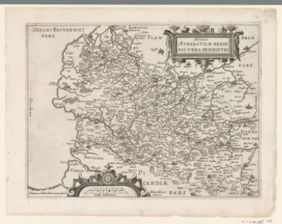
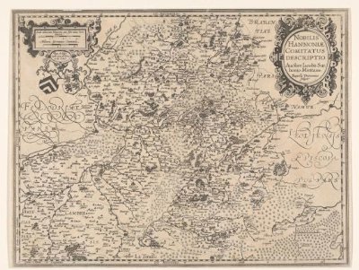
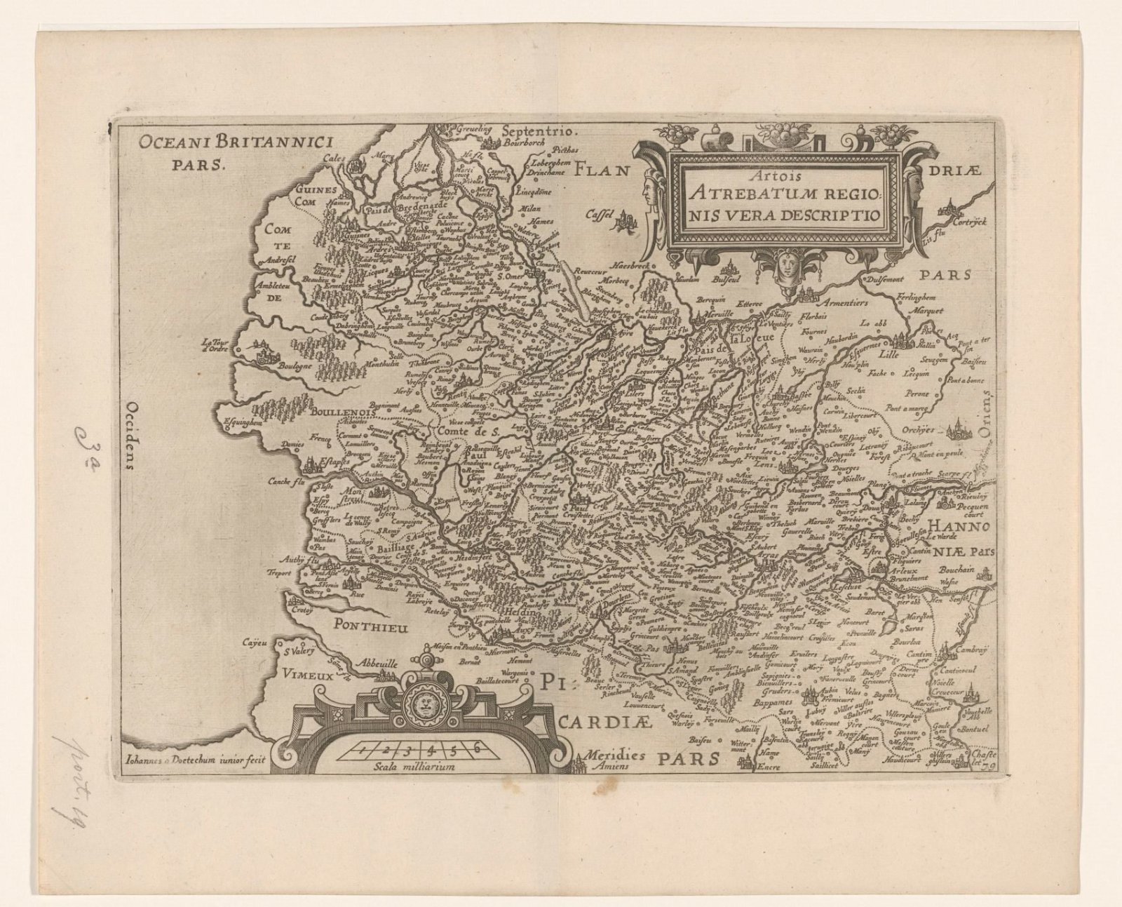
Kaart van het graafschap Artesië
Joannes van Doetechum (II) (Deventer, ca. –1630)
1612 - 1648
- Medium
- paper
- Classification
- map
- Dimensions
- height 238 mm x width 319 mm
- Museum
- Rijksmuseum
- Rights
- Public Domain Mark, as the museum states it.
- Who can see it
- Little Ones profiles and older: it shows gentle subjects for the very young. How works are placed
About this work
Kaart van het graafschap Artesië. Rechtsboven de titelcartouche. Onder, links van het midden, een cartouche met schaalstok: 6 Scala milliarium. Rechtsonder genummerd: 79.