Window mode follows your eyes with your camera, in this browser only: no picture or position leaves your device.
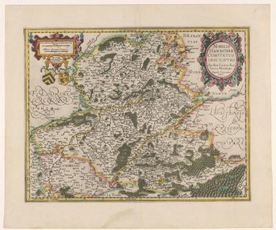
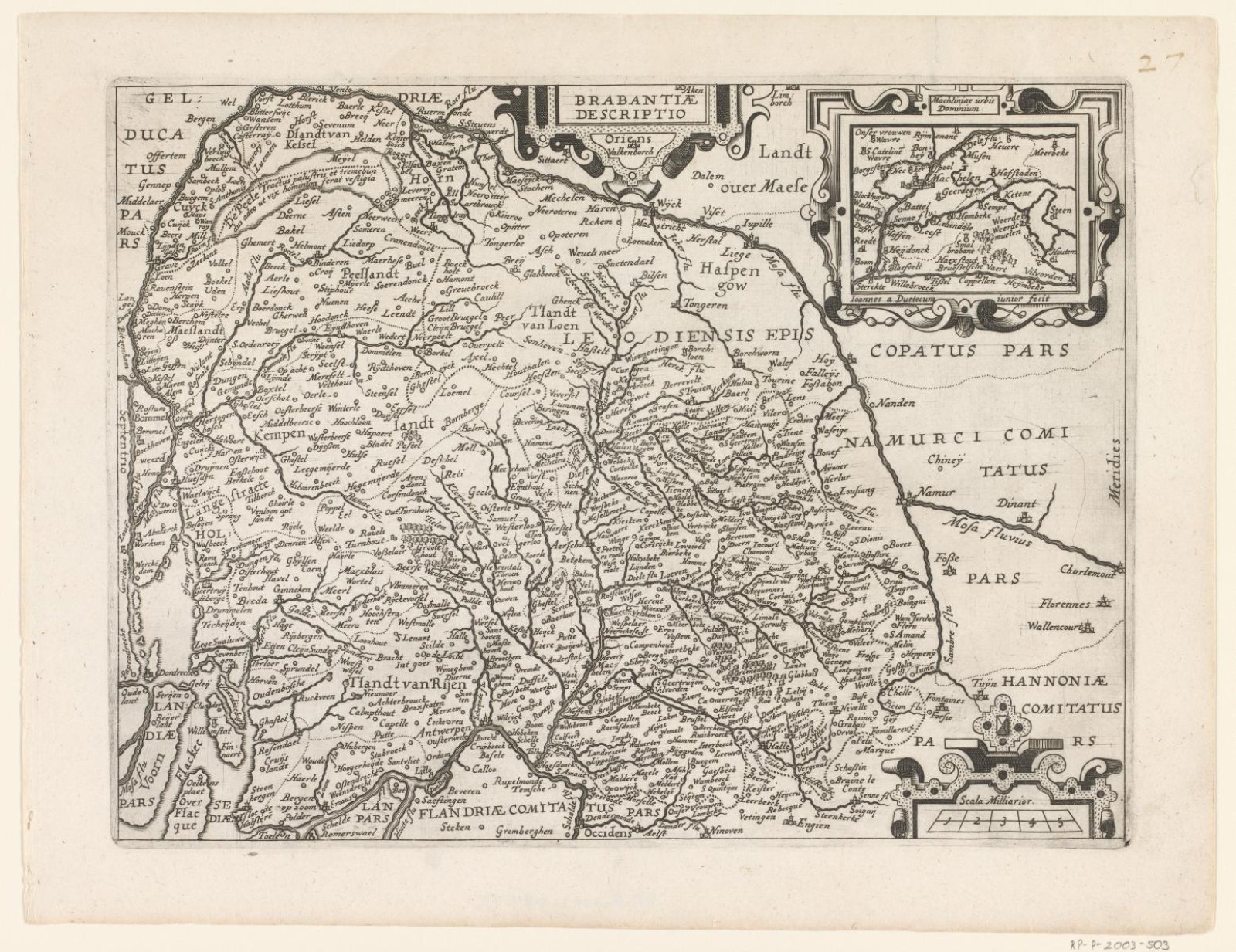
Kaart van Brabant
Joannes van Doetechum (II) (Deventer, ca. –1630)
1607 - 1609
- Medium
- paper
- Classification
- national map
- Dimensions
- height 240 mm x width 318 mm
- Museum
- Rijksmuseum
- Credit line
- Purchased with the support of the F.G. Waller-Fonds
- Rights
- Public Domain Mark, as the museum states it.
- Who can see it
- Little Ones profiles and older: it shows gentle subjects for the very young. How works are placed
About this work
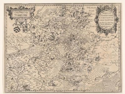
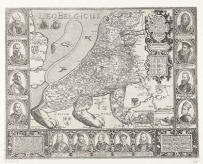
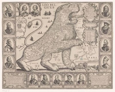
Kaart van het hertogdom Brabant. Midden boven een cartouche met de titel, rechtsboven een inzet met de stad Mechelen en omgeving, rechtsonder een cartouche met drie schaalstokken. Onderdeel van de verzameling kaarten genomen uit een latere editie van: Descrittione di tutti i Paesi Bassi van Lodovico Guicciardini.