Window mode follows your eyes with your camera, in this browser only: no picture or position leaves your device.
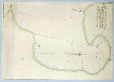
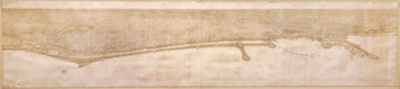
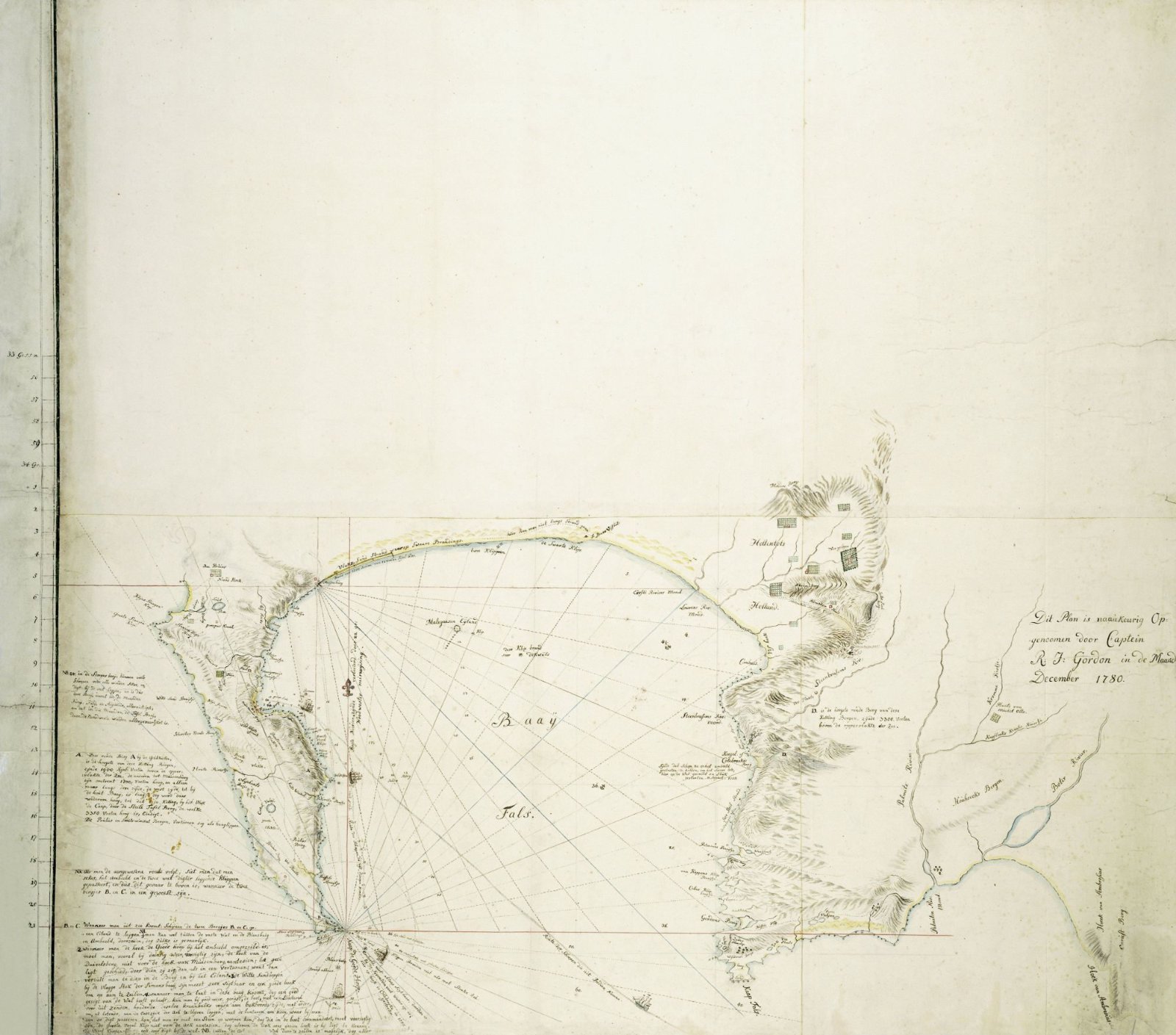
Map of False Bay and the Cape Peninsula
Also titled Kaart van Valsbaai en het Kaapse schiereiland
Robert Jacob Gordon (Doesburg, 1743–1795)
1780
- Medium
- paper, ink, pencil, watercolor (paint)
- Classification
- map
- Dimensions
- 0 x 0
- Museum
- Rijksmuseum
- Credit line
- Purchased with the support of private collectors
- Rights
- Public Domain Mark, as the museum states it.
- Who can see it
- Little Ones profiles and older: it shows gentle subjects for the very young. How works are placed
About this work
de kaart dekt het gebied, bestaande uit het gehele Kaapse schiereiland, de Valsbaai, en het gebied begrensd door Helderberg in het noorden, Kaap Hangklip in het zuiden en Sandownbaai in het zuidoosten (met gidskaart, voorzien van afgebakende gebieden A t/m C, daarbinnen volgens minuten van breedte)