Window mode follows your eyes with your camera, in this browser only: no picture or position leaves your device.
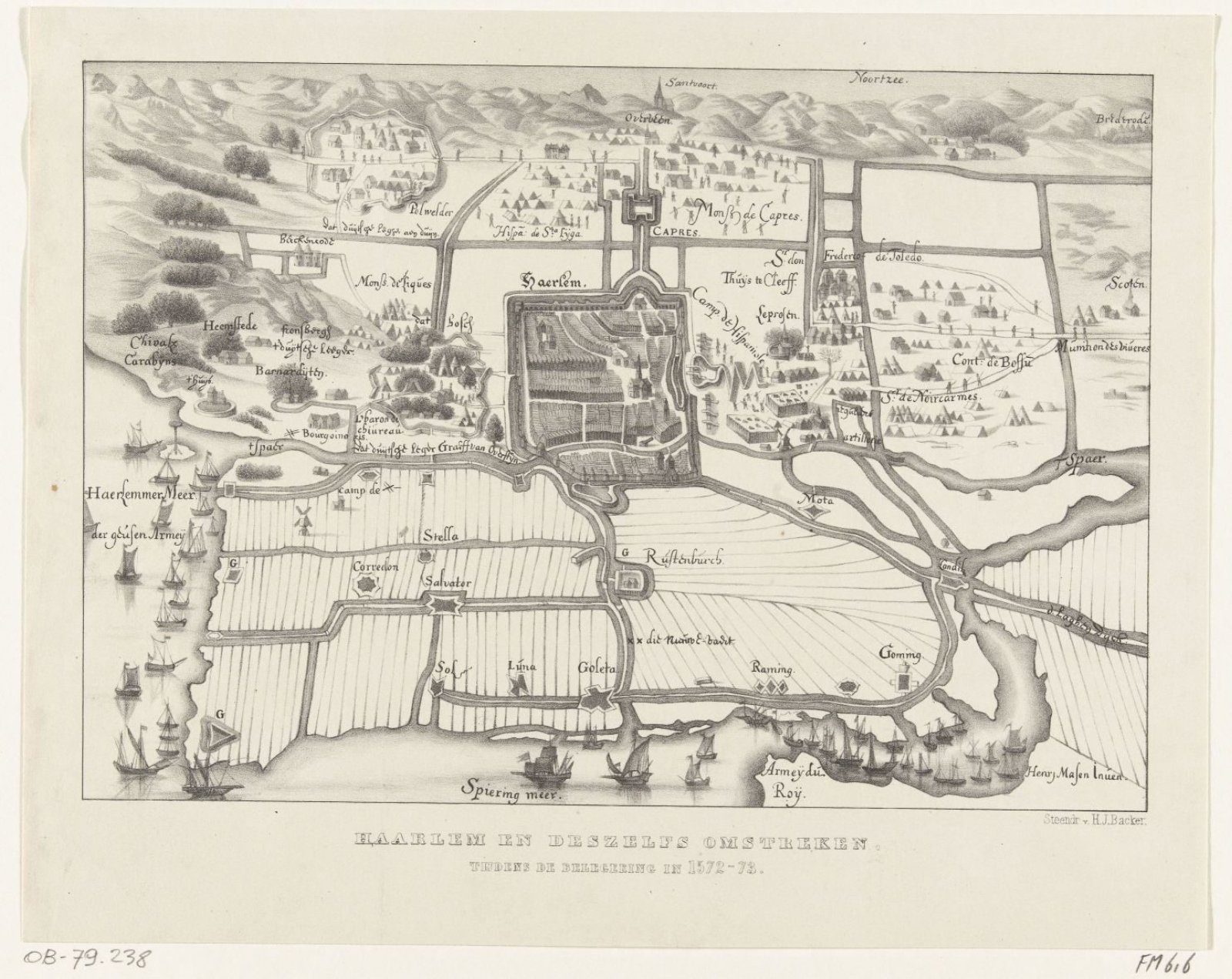
Kaartje van Haarlem en omgeving tijdens het beleg, 1572-1573
Hilmar Johannes Backer (Dordrecht, 1804–1845)
1841 - 1843
- Medium
- paper
- Classification
- Dimensions
- height 229 mm x width 290 mm
- Museum
- Rijksmuseum
- Rights
- Public Domain Mark, as the museum states it.
- Who can see it
- Teens profiles and older: its subject is for older viewers (war, death, the Passion, drink or the like). How works are placed
About this work
Kaartje van Haarlem en omgeving tijdens het beleg, 1572-1573. Boven Zandvoort en de Noordzee, links het Haarlemmermeer. Naar een contemporaine tekening.