Window mode follows your eyes with your camera, in this browser only: no picture or position leaves your device.
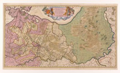
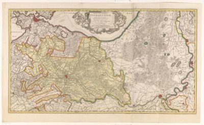
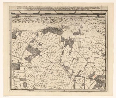
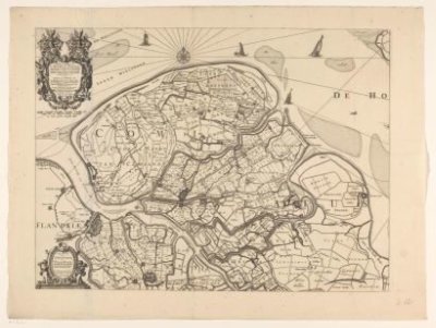
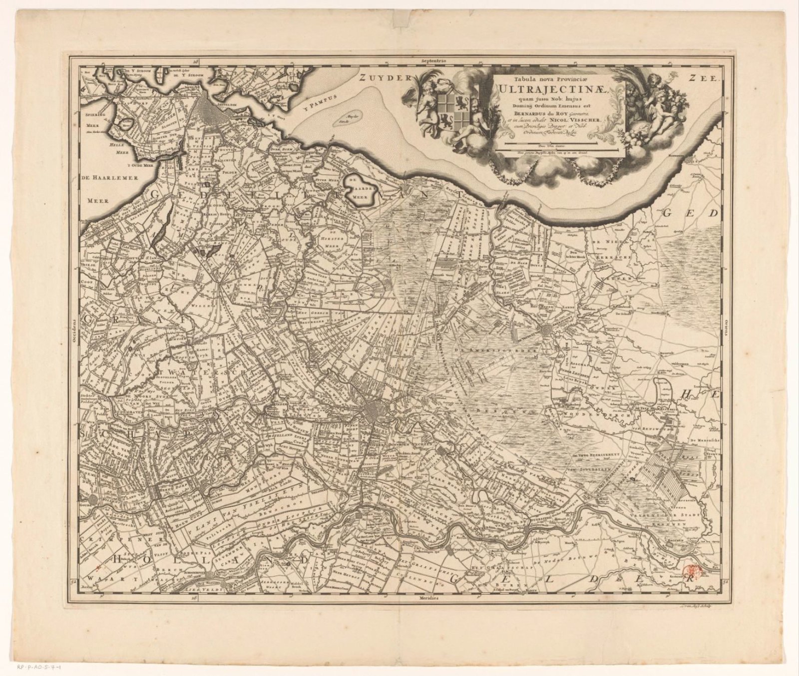
Kaart van de provincie Utrecht
1679 - in or before 1682
- Medium
- paper
- Classification
- map
- Dimensions
- height 482 mm x width 581 mm
- Museum
- Rijksmuseum
- Rights
- Public Domain Mark, as the museum states it.
- Who can see it
- Little Ones profiles and older: it shows gentle subjects for the very young. How works are placed
About this work
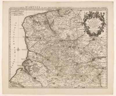
Rechtsboven een cartouche met de titel en twee schaalstokken: Twee uren gaans; Twee gemene Duytsche mylen van 15 in een graad. Daaromheen het wapen van de provincie Utrecht en putti. Gradenverdeling langs de randen.