Window mode follows your eyes with your camera, in this browser only: no picture or position leaves your device.
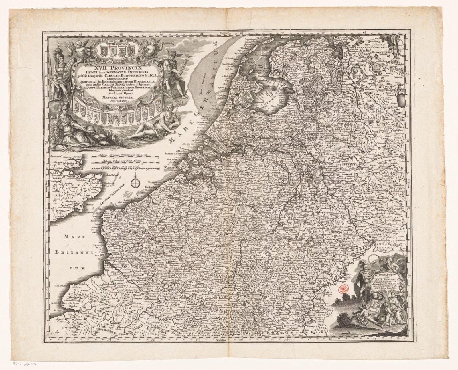
Kaart van de Zeventien Provinciën
Matthaeus Seutter (III) (Augsburg, 1678–1757)
1720 - 1730
- Medium
- paper
- Classification
- map
- Dimensions
- height 501 mm x width 590 mm
- Museum
- Rijksmuseum
- Rights
- Public Domain Mark, as the museum states it.
- Who can see it
- Teens profiles and older: its subject is for older viewers (war, death, the Passion, drink or the like). How works are placed
About this work
Kaart van de Zeventien Provinciën. Linksboven de titelcartouche met de provinciewapens, Mars, Mercurius, Minerva en Neptunus. Onder de cartouche drie schaalstokken: 15 Milliaria Germanica communia 25 in uno gradu / 20 Milliaria Gallica sive Horae Itineris, en een andere. De kaart is voorzien van een gradenverdeling langs de randen.