Window mode follows your eyes with your camera, in this browser only: no picture or position leaves your device.
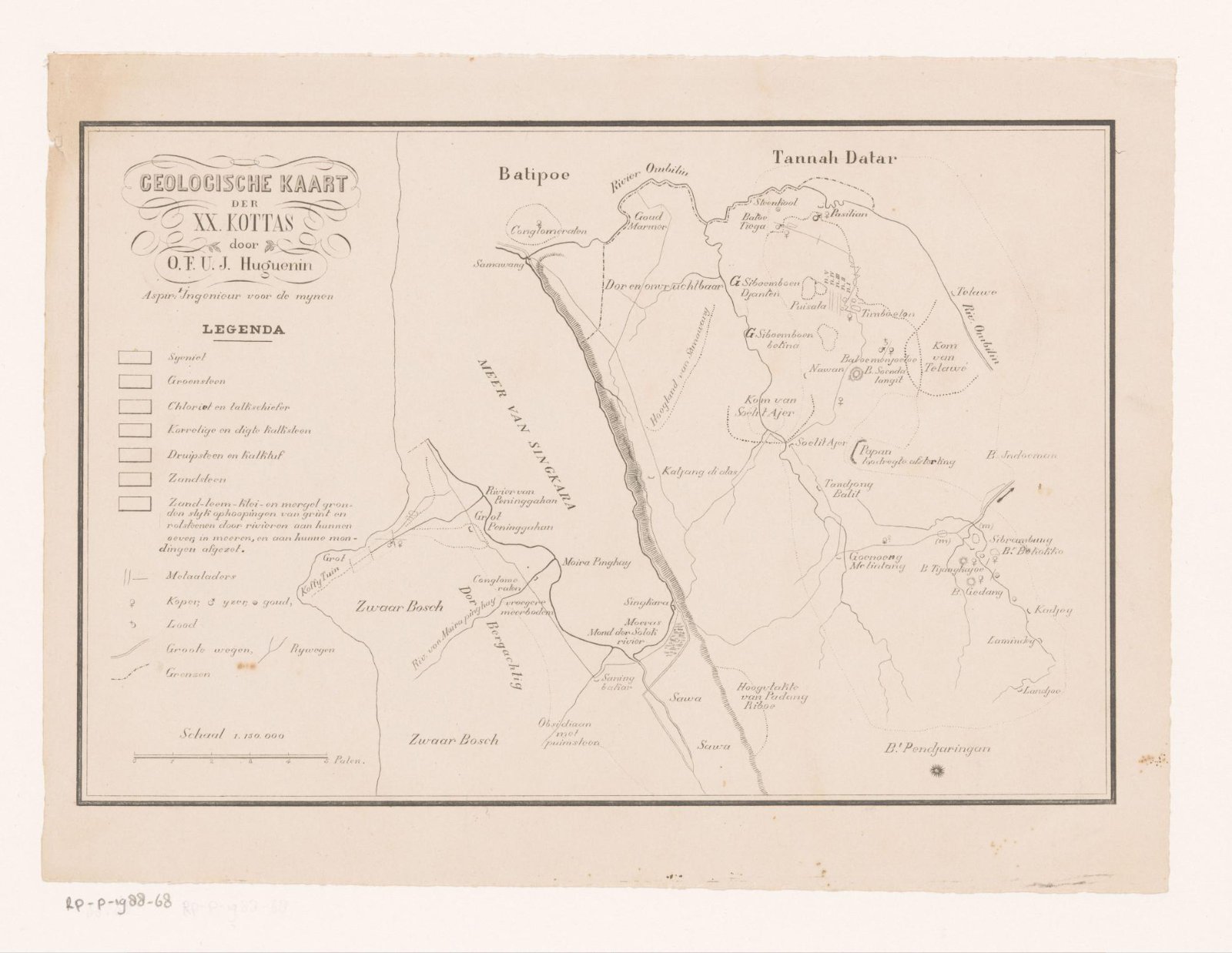
Geologische kaart van steden bij Padang
1840 - 1880
- Medium
- paper
- Classification
- Dimensions
- height 215 mm x width 290 mm
- Museum
- Rijksmuseum
- Credit line
- Purchased with the support of the F.G. Waller-Fonds
- Rights
- Public Domain Mark, as the museum states it.
- Who can see it
- Little Ones profiles and older: it shows gentle subjects for the very young. How works are placed
About this work
Kaart van een gebied met twintig steden bij Padang, Sumatra, met daarop de grondstoffen aangegeven. Links een legenda met daaronder een schaalstok.