Window mode follows your eyes with your camera, in this browser only: no picture or position leaves your device.
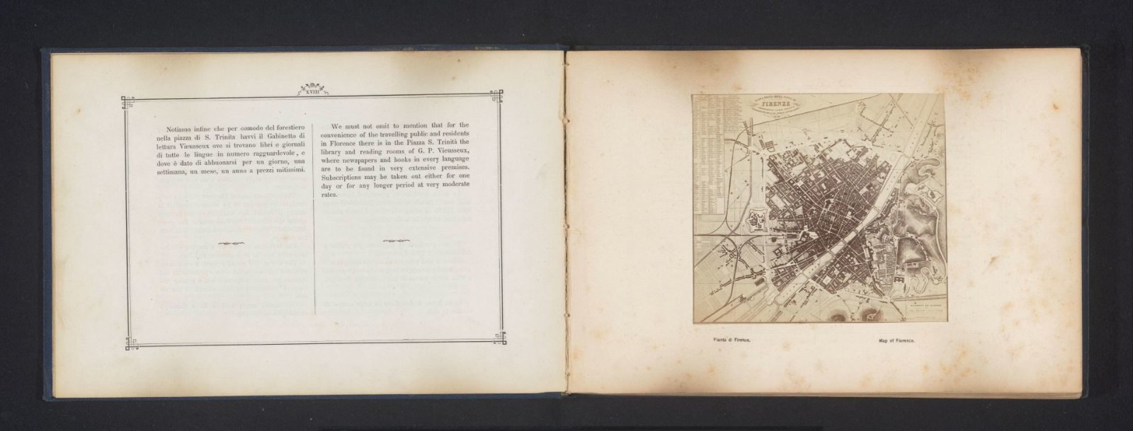
Map of Florence
Also titled Fotoreproductie van een kaart van Florence
Giacomo Brogi (1822–1881)
c. 1861 - in or before 1871
- Medium
- photographic support
- Classification
- reproductie
- Dimensions
- height 114 mm x width 126 mm
- Museum
- Rijksmuseum
- Credit line
- Purchased with the support of the Mondriaan Stichting, the Prins Bernhard Cultuurfonds, the VSBfonds, the Paul Huf Fonds/Rijksmuseum Fonds and the Egbert Kunstfonds
- Rights
- Public Domain Mark, as the museum states it.
- Who can see it
- Kids profiles and older: it shows nature, places, still life or a children's book. How works are placed