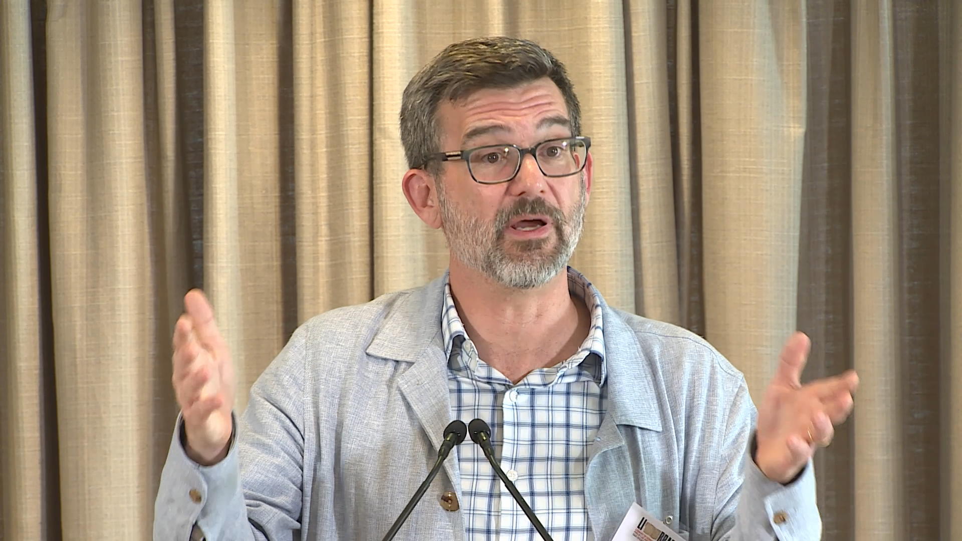
Catawba Cartographies: Remapping the Indigenous Southeast
Library Of Congress
Clips are not offered for this film: the Library of Congress states its rights in its own words, not as a public licence, which leaves reuse unclear.
Parts
About
S. Max Edelson, professor of history at the University of Virginia, makes a case that the Catawba Deerskin Map sought to correct errors observed on English cartography and suggest a new political geography for the region. English colonizers arrived in Kiawah — the Cusabo Indian region on the southeastern coast of North America — in 1670. To promote their new colony, the Lords Proprietors of Carolina commissioned maps to proclaim English sovereignty, attract colonists and reveal Indigenous people and places beyond the Atlantic coast. The view of the Native world presented on these maps was deeply distorted. Did Native Carolinians see these maps? If so, how did they react to them? In the 1720s, the Catawbas presented South Carolina’s governor with a painted deerskin showing Indigenous and European settlements in the region. This lecture is part of the Philip Lee Phillips Society 2024 Spring Presentation on Indigenous Cartography, co-sponsored by the Washington Map Society.
Human-made No record of this work says a model made it. What this means.
- Archive
- Library of Congress, in Library of Congress: talks and concerts
- Licence or status
- Rights statement at the Library of Congress, as the Library of Congress states it.
- Credit
- Library of Congress
- Language
- English
- Country
- United States
- Who can watch
- The archive gives no rating. Invisible Network shows it to Tweens profiles and older, judged from its collection and subjects. How films are placed
More from Library of Congress: talks and concerts
 Talk
2024 Literacy Awards Applicant Information Session
 Talk
Disney Storytellers Fund at Howard University Showcase
 Talk
Rhapsody in Blue at 100
 Talk
Copyright Public Modernization Committee Public Meeting
 Talk
Spring 2024 Connecting Communities Digital Initiative Project Celebration
 Talk
Connecting Communities Digital Initiative: 2024 Summer Fuse I
 Talk
Connecting Communities Digital Initiative: 2024 Summer Fuse II
 Talk
FEDLINK 2023 Awards Ceremony
 Talk
2024 Junior Fellows Display Day
 Talk
2024 Junior Fellows Program
 Talk
History of Science Society Conference
 Talk