Window mode follows your eyes with your camera, in this browser only: no picture or position leaves your device.
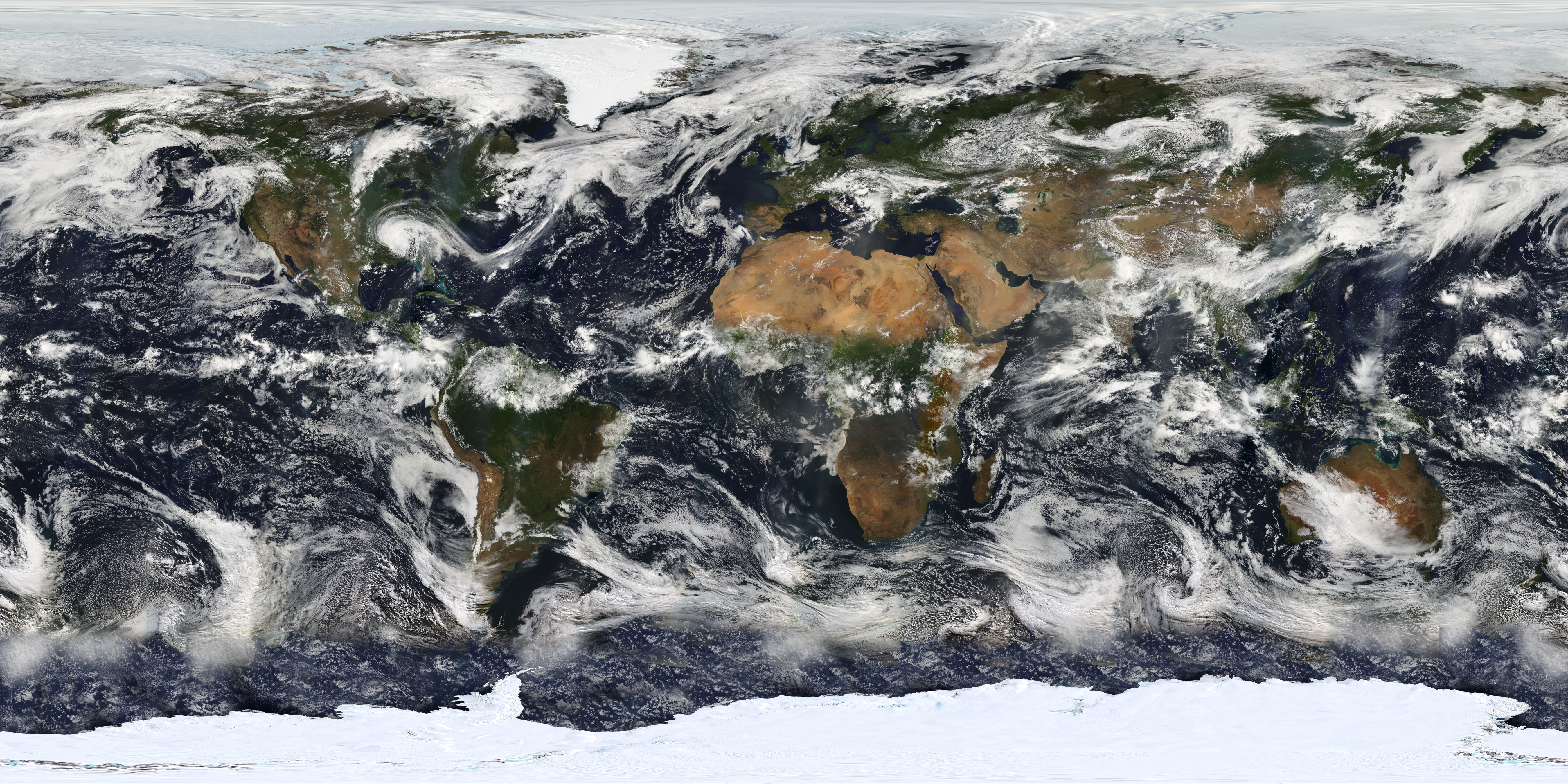
MODIS Map
Taken on 11 July 2005
- Classification
- Photograph
- Museum
- Wikimedia Commons
- Credit line
- Earth's Vital Signs
- Rights
- Public domain, as the museum states it.
- Who can see it
- Kids profiles and older: it shows nature, places, still life or a children's book. How works are placed
About this work
This image is based largely on observations from the Moderate Resolution Imaging Spectroradiometer (MODIS) - a sensor aboard the Terra satellite - on July 11, 2005. Small gaps in MODIS' coverage between overpasses, as well as Antarctica (which is in polar darkness in July), have been filled in using GOES weather satellites and the latest version of the NASA Blue Marble. Hurricane Dennis can be seen moving inland over the Gulf Coast.