Window mode follows your eyes with your camera, in this browser only: no picture or position leaves your device.
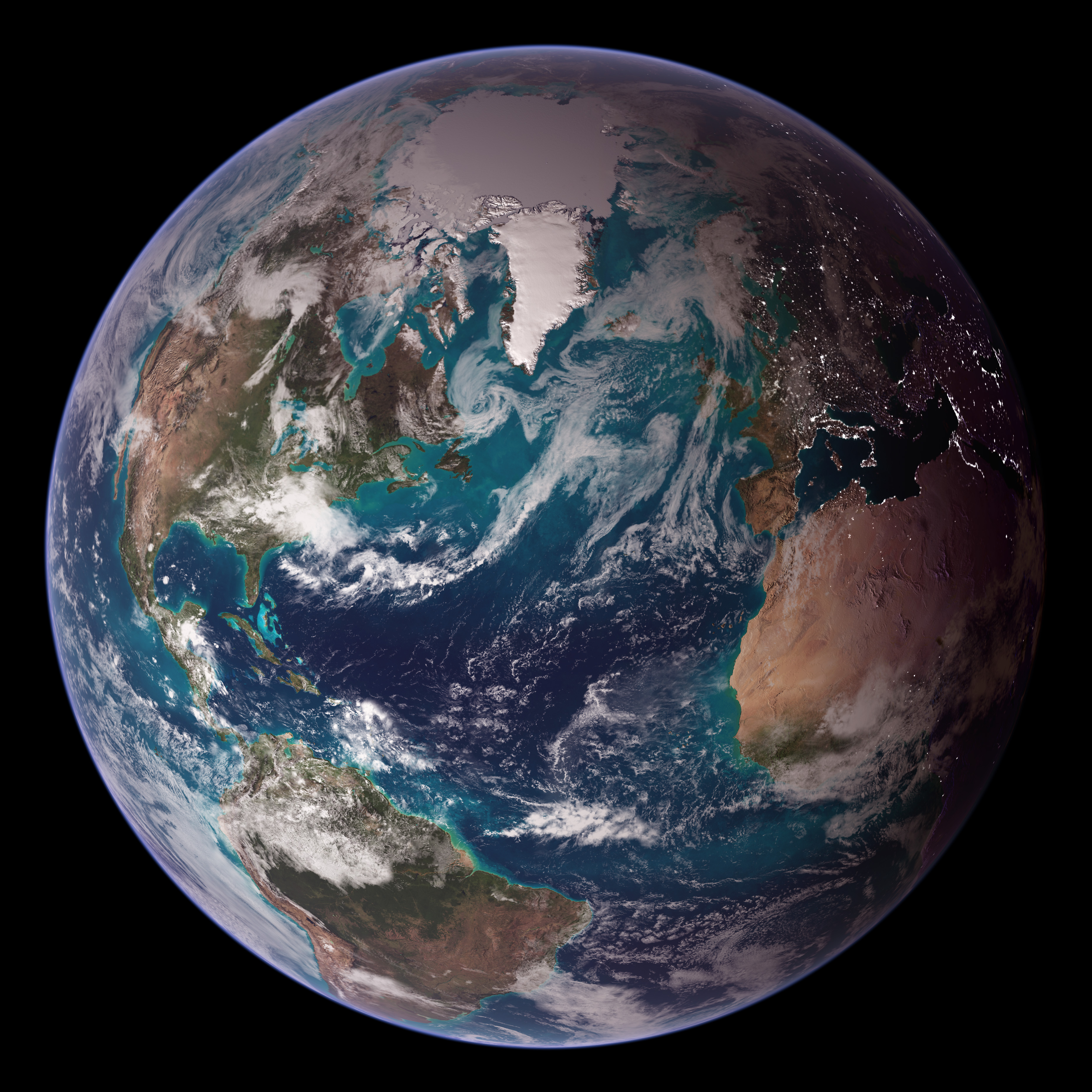
Blue Marble Western Hemisphere
NASA images by Reto Stöckli, based on data from NASA and NOAA. Instrument: Terra - MODIS
2007-10-02
- Classification
- Photograph
- Museum
- Wikimedia Commons
- Credit line
- Earth Observatory: Twin Blue Marbles
- Rights
- Public domain, as the museum states it.
- Who can see it
- Kids profiles and older: it shows nature, places, still life or a children's book. How works are placed
About this work
RELEASE DATE: OCTOBER 9, 2007
Credit: NASA/Goddard Space Flight Center/Reto Stöckli
A day’s clouds. The shape and texture of the land. The living ocean. City lights as a beacon of human presence across the globe. This amazingly beautiful view of Earth from space is a fusion of science and art, a showcase for the remote-sensing technology that makes such views possible, and a testament to the passion and creativity of the scientists who devote their careers to understanding how land, ocean, and atmosphere—even life itself—interact to generate Earth’s unique (as far as we know!) life-sustaining environment.
Drawing on data from multiple satellite missions (not all collected at the same time), a team of NASA scientists and graphic artists created layers of global data for everything from the land surface, to polar sea ice, to the light reflected by the chlorophyll in the billions of microscopic plants that grow in the ocean. They wrapped these layers around a globe, set it against a black background, and simulated the hazy edge of the Earth’s atmosphere (the limb) that appears in astronaut photography of the Earth.
The land surface layer is based on photo-like surface…