Podcasts · Behind The Science Podcast
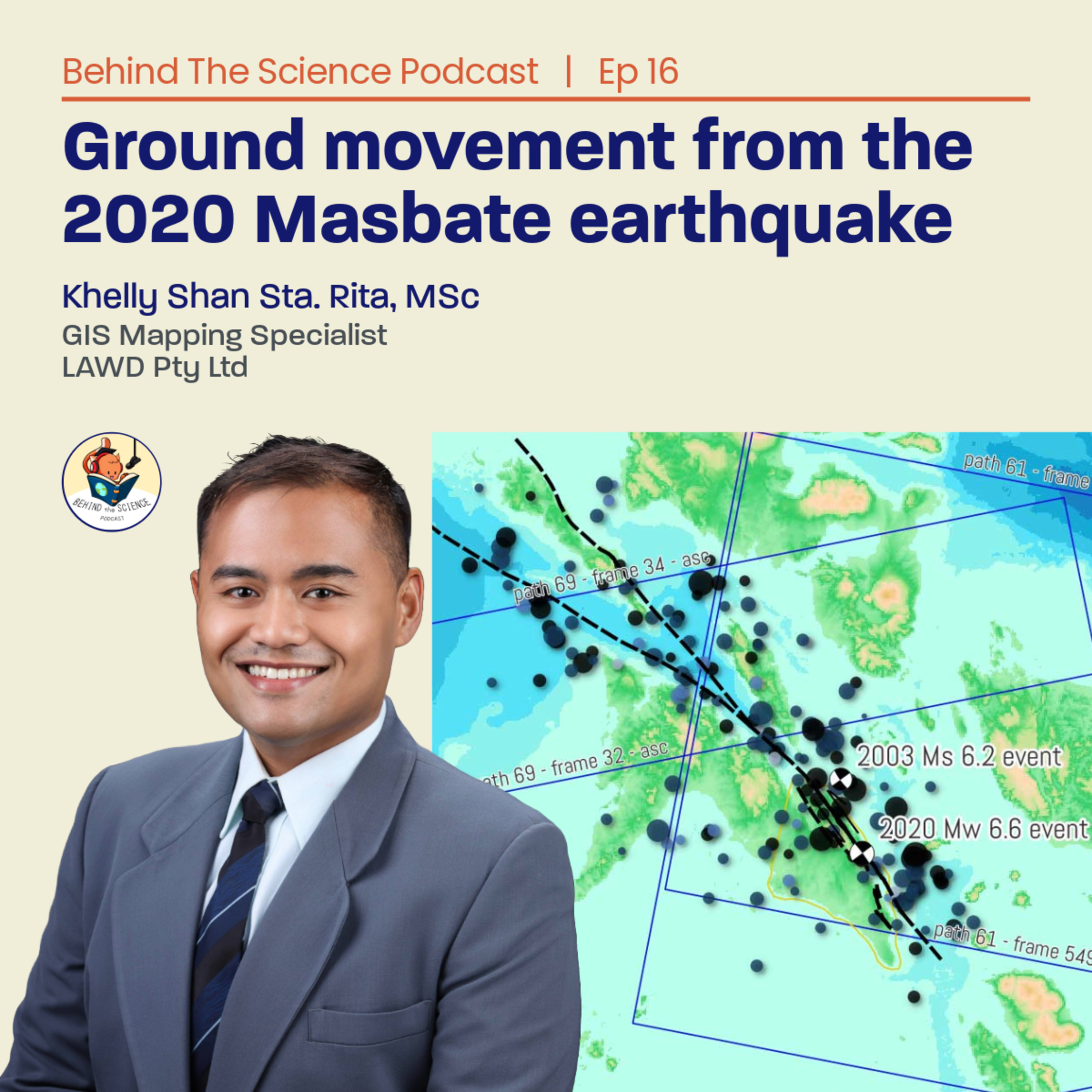
Ep16 - Ground movement from the 2020 Masbate earthquake measured from satellites
· 33 min · Episode 16
Episode Ep16 - Ground movement from the 2020 Masbate earthquake measured from satellites
Khelly is previously a part of the Volcano-Tectonics laboratory of UP-NIGS. He holds a graduate degree in Geology from the University of the Philippines, along with undergraduate degrees in Geology and Geological Engineering from Mapua Institute of Technology. Together with Dr. Mahar Lagmay and Dr. Sotiris Valkaniotis, they harnessed satellite data to quantify ground movements caused by the magnitude 6.6 earthquake on the Masbate Island in 2020. Currently, Khelly bridges theory and practice in the geotechnical and geospatial industries, where he continues to contribute to developing resilient infrastructure projects.
Article spotlight:
Sta. Rita, K. S., Valkaniotis, S., and Lagmay, A. M. F.: Surface rupture kinematics of the 2020 Mw 6.6 Masbate (Philippines) earthquake determined from optical and radar data, Nat. Hazards Earth Syst. Sci., 24, 1135–1161, 2024.
#BehindTheSciencePodcast is presented to you by the Marine & Earth Science Learning Hub and UP Resilience Institute.
Links in the notes 1
Shows are listed from Apple Podcasts' charts and directory, and Podcast Index where it is used. Every show and episode belongs to its publisher and plays from the publisher's own feed; this site hosts none of them. Explicit shows are for adult profiles only, and children’s profiles hear only children’s shows. More about this list.