Podcasts · Behind The Science Podcast
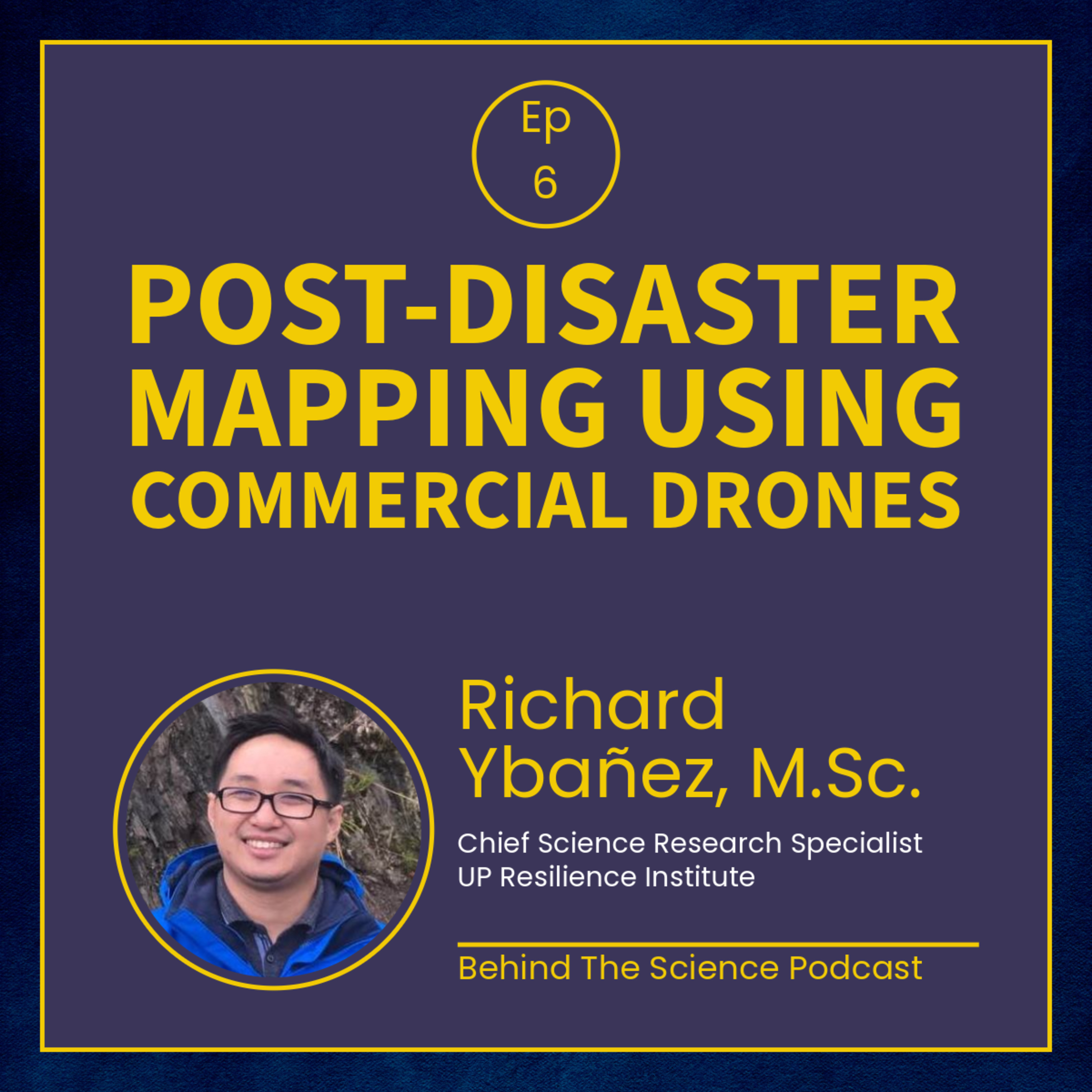
Ep6 - Using drones for post-disaster mapping
· 42 min · Episode 6
Episode Ep6 - Using drones for post-disaster mapping
Mr. Richard Ybañez, M.Sc. of the UP - Resilience Institute shares his experience with using commercial drones for their quick response assessment after the 2019 Central Luzon Earthquake, 2019 Cotabato Earthquakes, and 2020 Taal Eruption.
Featured article:
Ybañez RL et al. 2021. Imaging ground surface deformations in post-disaster settings via small UAVs. Geoscience Letters, 8(1), 23.
This episode is co-presented by the UP Diliman College of Science, and the UP Resilience Institute.
Links in the notes 1
Shows are listed from Apple Podcasts' charts and directory, and Podcast Index where it is used. Every show and episode belongs to its publisher and plays from the publisher's own feed; this site hosts none of them. Explicit shows are for adult profiles only, and children’s profiles hear only children’s shows. More about this list.