Podcasts · Behind The Science Podcast
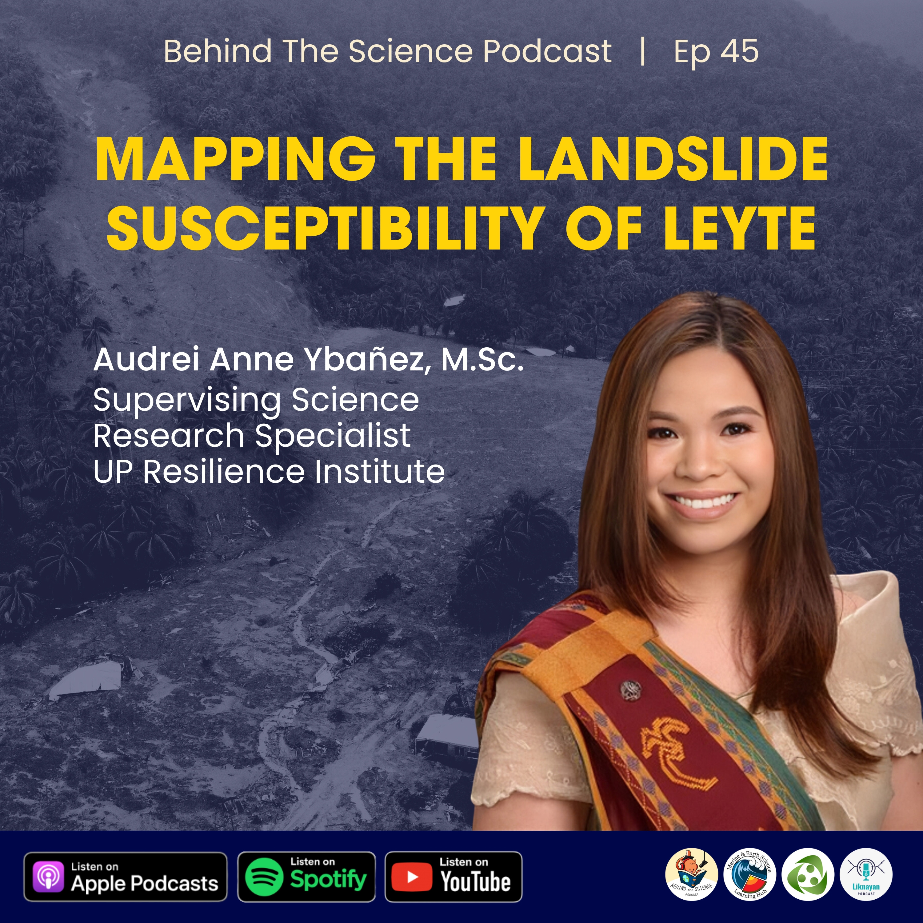
Ep46 - Mapping the landslide susceptibility of Leyte
· 52 min · Episode 46
Episode Ep46 - Mapping the landslide susceptibility of Leyte
Guest Speaker:
Audrei Anne Ybañez, M.Sc.
Supervising Science Research Specialist
UP Resilience Institute
Ms. Ybañez shares how they produced landslide susceptibility maps downscaled to the community-level for the entire Leyte province using remote sensing, numerical modelling, and GIS.
Research spotlight:
Eco R, Aquino D, Lagmay A et al (2015) Landslide and debris flow susceptibility mapping of Leyte Province, Philippines using remote sensing, numerical modelling, and GIS. J Philipp Geosci Remote Sens Soc 1:53–71
#BehindTheSciencePodcast is presented to you by Marine & Earth Science Learning Hub, UP Resilience Institute, and Liknayan Podcast.
Shows are listed from Apple Podcasts' charts and directory, and Podcast Index where it is used. Every show and episode belongs to its publisher and plays from the publisher's own feed; this site hosts none of them. Explicit shows are for adult profiles only, and children’s profiles hear only children’s shows. More about this list.