4.1: Ideal continent and real continents

Key to the Diversity and History of Life · LibreTexts

0%

Contents

    Text

    Size
    100%
    Theme
    Typeface
    Line length
    Spacing

    From LibreTexts, under Public Domain, as the source states it; its equations are written in TeX, which the PDF shows typeset. This page at LibreTexts.

    4.1: Ideal continent and real continents

    On the next page, see the map of “ideal continent” representing the Earth landmasses, ocean currents, climates and ecoregions (according to Rjabchikov, 1960).

    4.1.01.PNG
    Figure 4.1.1

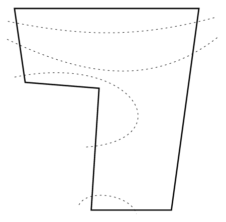
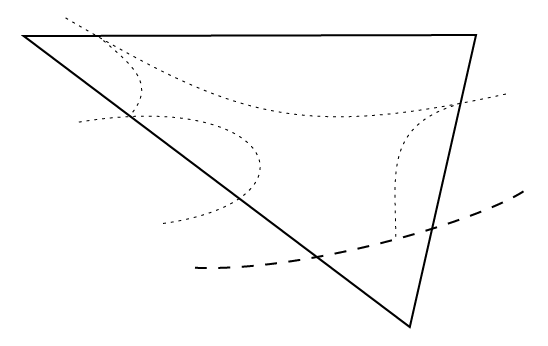
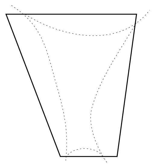
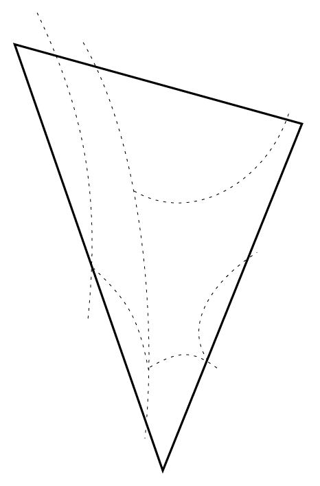
    Next few pages are filled with schematic maps of four real continents. However, these maps are simplified to the extreme in order to show the most important ecological and geographical features of the each continent.
    4.1.02.PNG
    Figure 4.1.2 : The most simple biogeographic map of North America: cold North, wet East, hot South and dry West.
    4.1.03.PNG
    Figure 4.1.3 : The most simple biogeographic map of South America.
    4.1.04.PNG
    Figure 4.1.4 : The most simple biogeographic map of Africa.
    4.1.05.PNG
    Figure 4.1.5 : The most simple biogeographic map of Eurasia.

    This page titled 4.1: Ideal continent and real continents was last modified on Fri, 10 Sep 2021 02:32:46 GMT and is shared under a Public Domain license and was authored, remixed, and/or curated by Alexey Shipunov.