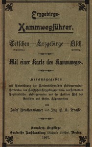
Erzgebirgs-Kammwegführer
Tetschen (Schneeberg) - Erzgebirge - Asch (Hainberg). Mit einer Karte des Kammweges
by Josef Brechensbauer, E. A. Prasse
Human-made only is on in this browser, so Project Gutenberg's machine summaries are left out. Settings.
"Erzgebirgs-Kammwegführer" by Josef Brechensbauer and E. A. Prasse is a hiking guide written in the early 20th century. This guide offers detailed information about the Erzgebirgs Kammweg, a mountain trail stretching from Tetschen to Asch, emphasizing the natural beauty and terrain characteristics of the region. The book serves hikers by providing essential information for navigating the trail effectively. The opening of the work introduces readers to the Erzgebirgs Kammweg, highlighting the journey from Tetschen to Asch, which can take approximately 9 to 10 days. It vividly describes the scenic landscapes, including mountain peaks and rarefied air, recommended for individuals seeking relaxation and rejuvenation. The authors mention the trail's height, terrain features, and necessary preparations for an enjoyable hiking experience, ensuring that the guide is both practical and appealing to outdoor enthusiasts looking to explore the stunning elevations of the Erzgebirge mountains.
AI-generated Summary written by Project Gutenberg, by machine.
- Language
- German (Deutsch)
- On Project Gutenberg since
- 21 February 2016
- Read in the last 30 days
- 374 times at Project Gutenberg