Window mode follows your eyes with your camera, in this browser only: no picture or position leaves your device.
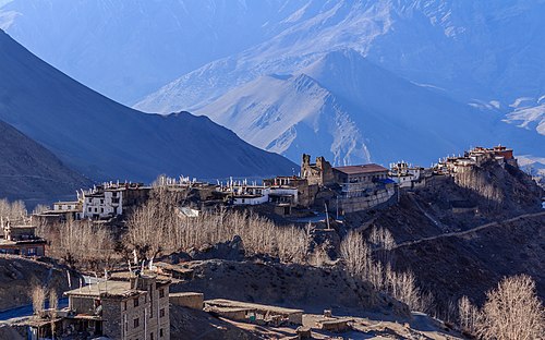
Annapurna Massif-IMG 5221-Pano
2019-10-10
- Classification
- Photograph
- Museum
- Wikimedia Commons
- Rights
- CC BY-SA 4.0, as the museum states it.
- Who can see it
- Tweens profiles and older: its subjects are known and suit older children. How works are placed
About this work
A panoramic view of Annapurna South and the south face of Annapurna I (Main) from Annapurna Base Camp. Annapurna is a massif in the Himalayas in north-central Nepal that includes one peak over 8,000 metres (26,000 ft), thirteen peaks over 7,000 metres.(23,000 ft), and sixteen more over 6,000 metres (20,000 ft). The massif is 55 kilometres (34 mi) long, and is bounded by the Kali Gandaki Gorge on the west, the Marshyangdi River on the north and east, and by Pokhara Valley on the south. The highest peak of the massif, Annapurna I Main, is the tenth highest mountain in the world at 8,091 metres (26,545 ft) above sea level.