Window mode follows your eyes with your camera, in this browser only: no picture or position leaves your device.
Dasht-e Kavir
USGS EROS Data Center Satellite Systems Branch.
2000-10-24
- Classification
- Photograph
- Museum
- Wikimedia Commons
- Credit line
- NASA Earth Observatory.
- Rights
- Public domain, as the museum states it.
- Who can see it
- Teens profiles and older: its museum says too little about what it shows to place it for younger viewers. How works are placed
About this work
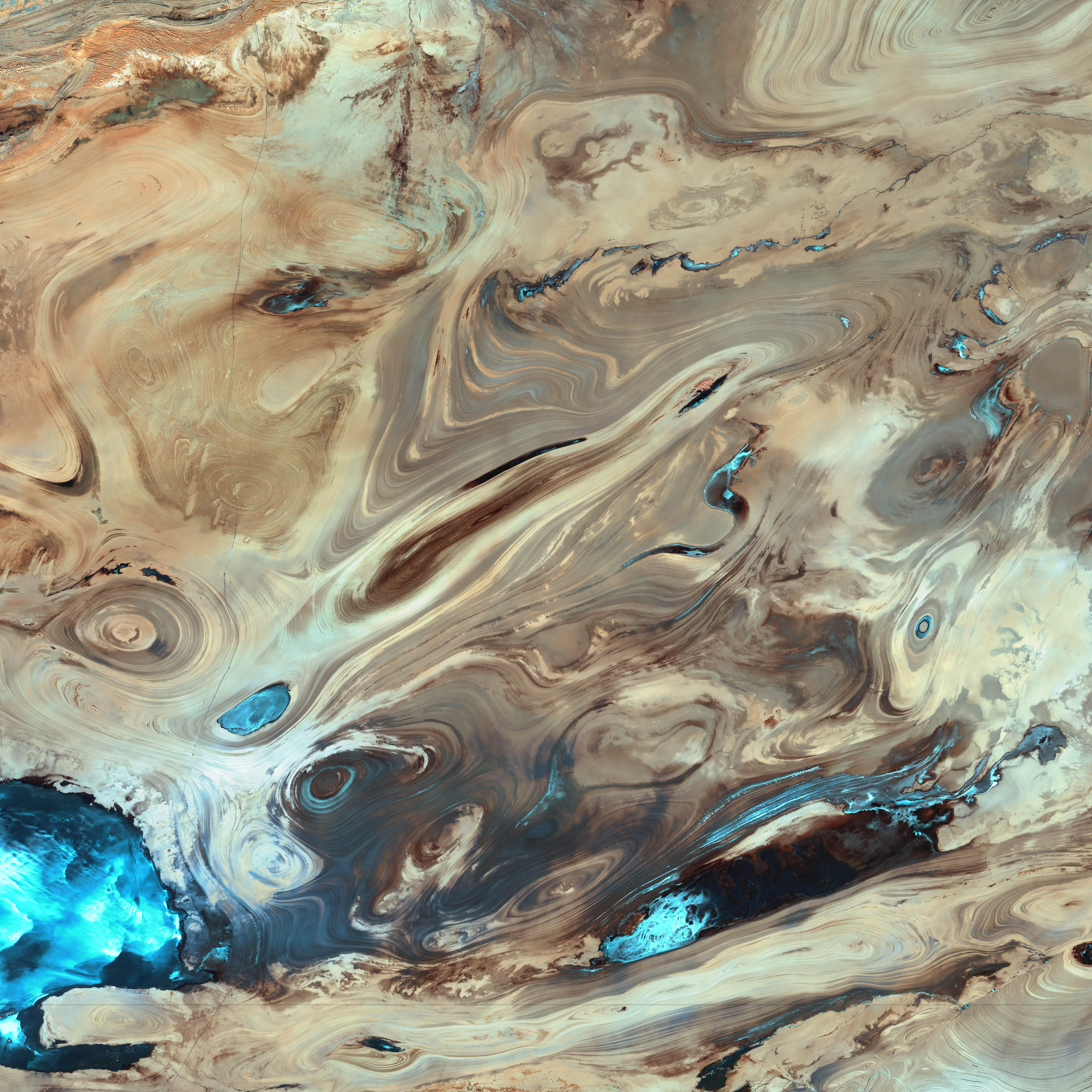
A satellite picture of the Dasht-e Kavir desert in Iran.
The patterns you see are formed by different geological layers that have been eroded over thousands of years by wind and sometimes (but not often) rain.
The patterns are formed from either horizontal geological layers cut through by topographic changes, or geological formations (folds, domes, etc) in relatively flat terrain.
Most of the colours are due to chemical differences in the rocks, whilst the intense blue colours could be due to a range of materials, possibly salt deposits, possibly vegetation, depending on which area of the EM spectrum is represented by blue. I suspect (but don't know, the satellite bands to displayed colours are not mentioned) that the blue colours are salt deposits, but they could equally be other materials too. To be certain, knowledge of the bands to display colours is essential.
The black line running horizontally across the image is a sensor drop-out and the data for that line or lines has been irrevocably lost. The linear (but not straight) line running vertically down the middle left is a road.
USGS/NASA description: The Dasht-e Kevir, or Great Salt Desert, is the largest desert in…