Window mode follows your eyes with your camera, in this browser only: no picture or position leaves your device.
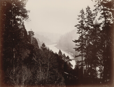
Skagit River 8667s
28 October 2013, 20:28:26 +00:00
- Classification
- Photograph
- Museum
- Wikimedia Commons
- Rights
- CC BY-SA 3.0, as the museum states it.
- Who can see it
- Kids profiles and older: it shows nature, places, still life or a children's book. How works are placed
About this work
Skagit River near Van Horn (unincorporated community, right center); Washington State Route 20 (right center); Concrete-Sauk Valley Road (upper right on far side of river, also lower left); Jackman Ridge (lower right)); river meanders
Stitched panorama: Please see "Other versions" for source images. This image was created with Hugin.
Viewpoint location: Sauk Mountain Trail #613, Mount Baker-Snoqualmie National Forest
Viewpoint elevation: 1670 meter (5481 ft)
View direction: 262°
Location source: Garmin GPSmap 60CSx
Location Datum: WGS84