Window mode follows your eyes with your camera, in this browser only: no picture or position leaves your device.
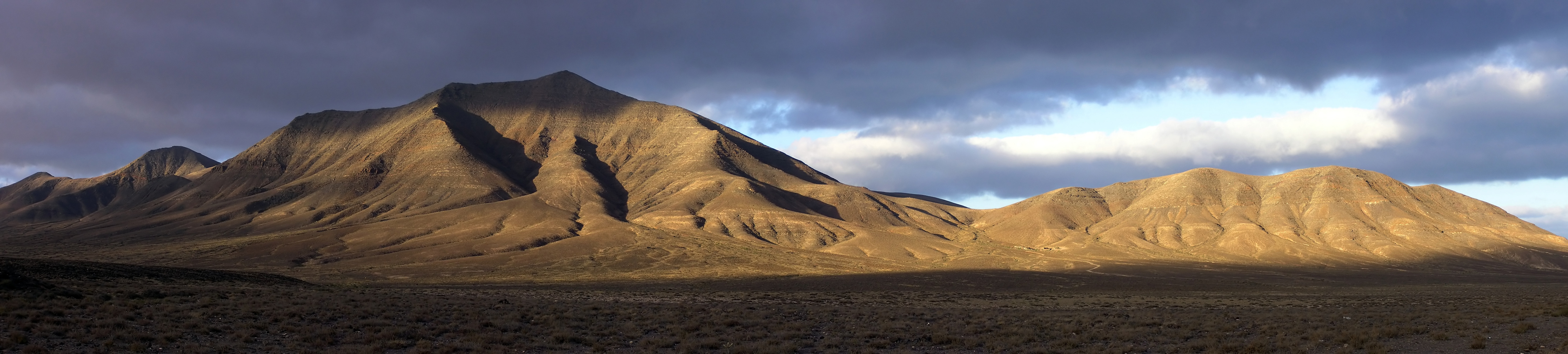
Hacha grande from papagayo pano
2006-07
- Classification
- Photograph
- Museum
- Wikimedia Commons
- Rights
- CC BY-SA 2.5, as the museum states it.
- Who can see it
- Kids profiles and older: it shows nature, places, still life or a children's book. How works are placed
About this work
Hacha Grande (562m), the Degollada Valle Perdomo, Montaña Breña Estesa and the Morros de Hacha Chica (left to right) viewed across the arid plain of El Rubicón from the road to the Monumento Natural de los Ajaches (Punta de Papagayo), on the Canary Island of Lanzarote. Pico Redondo (562m) is visible on the far left. Lanzarote is a volcanic island with very low rainfall; much of the south of the island is desert and a barren expanse of lava flows. Lanzarote (Canary Islands, Spain).