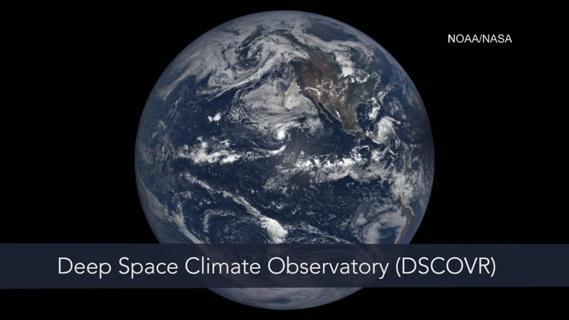
Planet Earth
Our only home.
KSC-09-S-00069
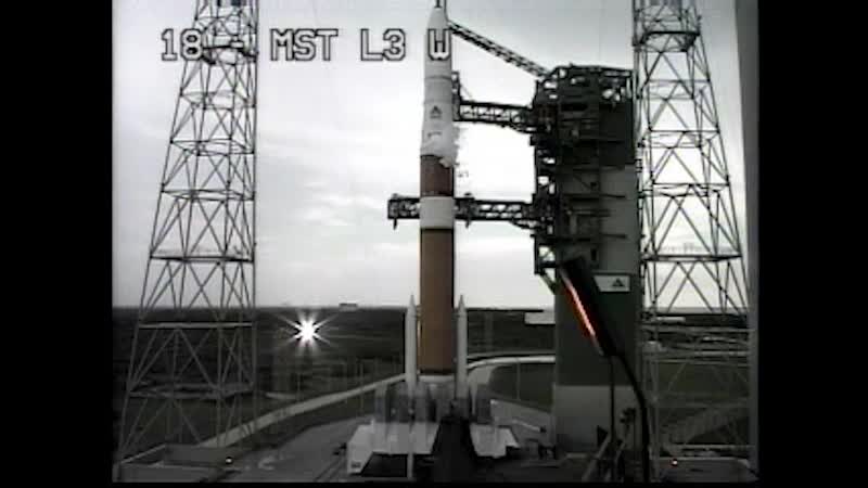
Stormy weather forces a scrub of the first attempt to launch a United Launch Alliance Delta IV rocket carrying the GOES-O satellite. The latest Geostationary Operational Environmental Satellite, GO...
What Spacecraft Saw During the 2017 Solar Eclipse
On Aug. 21, 2017, a solar eclipse passed over North America. People throughout the continent experienced a partial solar eclipse, and a total solar eclipse passed over a narrow swath of land stretc...

KSC-05-S-00006
NASA's latest addition to its fleet of Earth-observing satellites is getting down to business and breaking new ground. Launched in July of 2004, Aura --a powerful research platform in space -- is ...

GOLD Resources: Video File
The Global-scale Observations of the Limb and Disk, or GOLD, mission is designed to explore the nearest reaches of space. Capturing never-before-seen images of Earth’s upper atmosphere, GOLD expl...

KSC-04-S-00135
According to NASA satellites, the Earth is running a fever_ In fact, it turns out that the planet's temperature has been increasing for decades. Several Earth-observing satellites have been acting ...

GPM: Our Wet Wide World
The Global Precipitation Measurement (GPM) is an international satellite mission to provide next-generation observations of rain and snow worldwide every three hours. NASA and the Japan Aerospace E...

GPM: The Fresh(water) Connection
The Global Precipitation Measurement (GPM) is an international satellite mission to provide next-generation observations of rain and snow worldwide every three hours. NASA and the Japan Aerospace E...

GLOBE Observer Land Cover: Getting Started
Nearly every aspect of our lives is fundamentally tied to the land on which we live. The homes that shelter us are resting on the land. Cities offer locations that bring people together; farms feed...
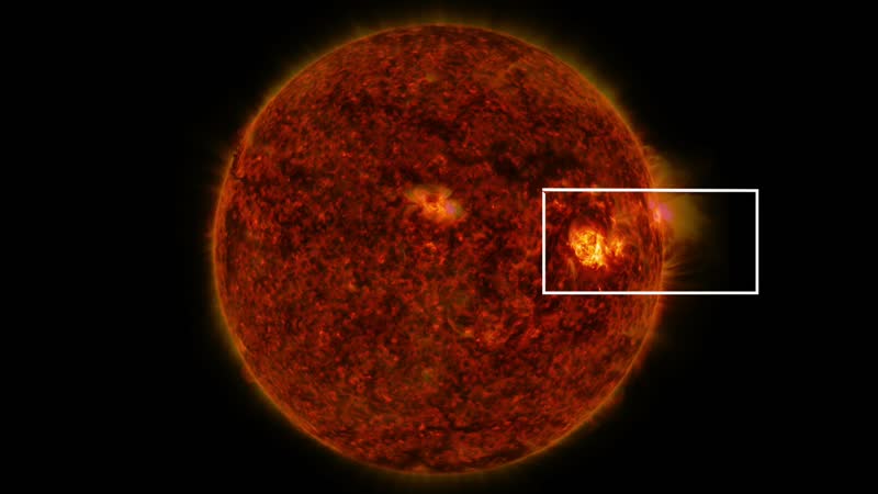
Space Radiation Highlights: MinXSS CubeSat Brings New Information to Study of Solar Flares
Along with the visible light and warmth constantly emitted by our sun comes a whole spectrum of X-ray and ultraviolet radiation that streams toward Earth. A new CubeSat – a miniature satellite th...

NASA's Worldview – Two Decades of Earth Data
Powerful Earth-observing instruments aboard NASA's Terra and Aqua satellites, launched in 1999 and 2002, respectively, have observed nearly two decades of planetary change. Now, for the first time,...
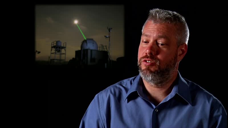
Space Geodesy Profiles: Stephen Merkowitz
Scientists from NASA's Space Geodesy Project discuss the techniques they use to precisely measure the Earth's position in the universe, determine the Earth's center of mass, calibrate satellites, o...
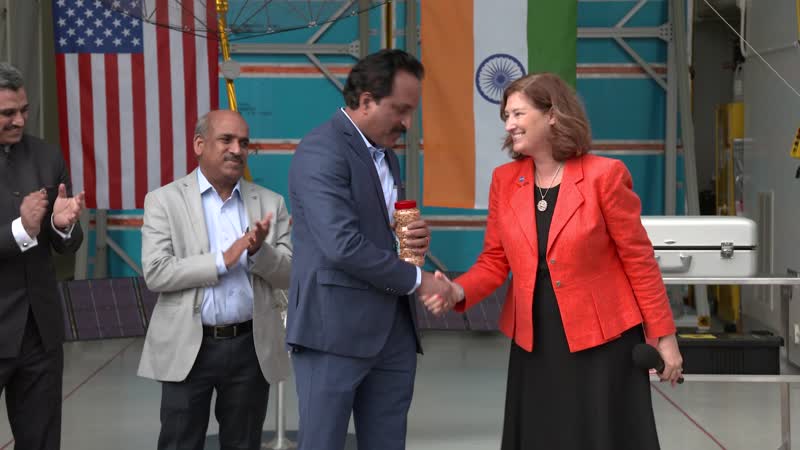
NASA-ISRO Earth Science Instrument Payload Gets Send-Off Before It Heads to India (Video File)
Video file for media and public use. It’s nearly time for the scientific heart of NISAR – an Earth science satellite being jointly built by NASA and the Indian Space Research Organization (ISRO...

Winston Over Fiji
The NASA GPM satellite passed directly over Tropical Cyclone Winston just after it made landfall on the north coast of Viti Levu Island, which is the largest and most populated island in the nation...
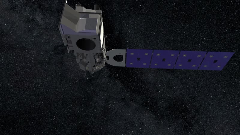
Sentinel-6A Renaming Ceremony
NASA and its partners on an upcoming mission to extend long-term observations of global sea level change announced the renaming of the mission, previously known as Sentinel-6A/Jason-CS, at a ceremo...

Two New Satellites Set to Study One of Earth's Most Critically Changing Regions
In 2018, NASA will intensify its focus on one of the most critical but remote parts of our changing planet with the launch of two new satellite missions and an array of airborne campaigns. GRACE-...

NASA's Vantage Point to View Earth
No planet is better studied than the one we actually live on. NASA's fleet of 26 Earth science spacecraft, supported by aircraft, ships and ground observations, measure aspects of the environment t...

KSC-04-S-00255
5,4,3,2,1: We have ignition and we have liftoff of NASA's Aura spacecraft. In the early morning hours of July 14, 2004, a revolutionary satellite reached orbit and gave scientists a powerful new ...

SWOT Launch Broadcast
The Surface Water and Ocean Topography (SWOT) is launched from Vandenberg Space Force Base in California, on December 16 on a SpaceX Falcon 9 rocket from Space Launch Center-4 East. SWOT is the...

NASA/SpaceX SWOT Isolated Launch and Landing Views
The Surface Water and Ocean Topography (SWOT) is launched from Vandenberg Space Force Base in California, on December 15 on a SpaceX Falcon 9 rocket from Space Launch Center-4 East. SWOT is the fi...
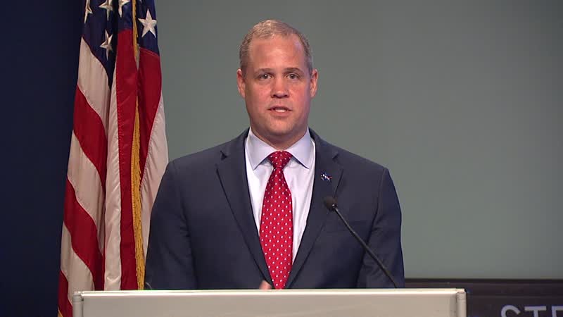
JPSS-2 LOFTID Prelaunch News Conference Oct 28, 2022
JPSS represents significant technological and scientific advancements in observations used for severe weather prediction and environmental monitoring. These data are critical to the timeliness and ...
Launch of Cyclone-Tracking TROPICS CubeSats from New Zealand (Official NASA Broadcast)
The first pair of the agency’s TROPICS (Time-Resolved Observations of Precipitation structure and storm Intensity with a Constellation of Smallsats) lifted off aboard an Electron rocket from Rock...

Landsat 8 Lunar Calibration
Every full moon, Landsat 8 turns its back on Earth. As the satellite's orbit takes it to the nighttime side of the planet, Landsat 8 pivots to point at the moon. It scans the distant lunar surface ...
ICESat-2 Beauty Pass
The Ice, Cloud and land Elevation Satellite-2, or ICESat-2, is a laser altimeter that will measure the heights of Earth’s surfaces. With ICESat-2’s high-resolution data, scientists will track c...

OLI Passes Pre-Ship Review
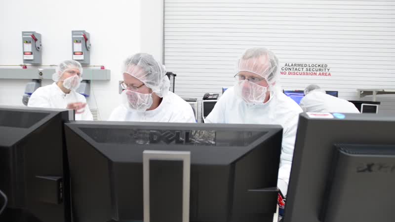
The Operational Land Imager (OLI), built by Ball Aerospace & Technologies Corp., will fly on the Landsat Data Continuity Mission (LDCM). OLI will measure in the visible, near infrared, and short wa...

Landsat Data Continuity Mission: Spacecraft Flow
The Landsat Data Continuity Mission (LDCM) is a collaboration between NASA and the U.S. Geological Survey that will continue the Landsat Program's 40-year data record of monitoring Earth's landscap...
Landsat Data Continuity Mission Orbital Sciences Corp. B-Roll
The Landsat Data Continuity Mission (LDCM) is a collaboration between NASA and the U.S. Geological Survey that will continue the Landsat Program's 40-year data record of monitoring Earth's landscap...

How Fieldwork in the Amazon Is Supporting NASA Climate Science – NISAR Mission Travelogue
A joint U.S.-India satellite mission called NISAR – the NASA-ISRO Synthetic Aperture Radar (NISAR) mission – will soon set out with new tools to better understand climate change. As a way to va...
KSC-05-S-00099
Saving lives is one of the unique and important missions of NASA and NOAA's polar-orbiting satellites. The Search and Rescue Satellite-Aided Tracking system, called SARSAT, is part of the National...

Following Carbon Dioxide Through the Atmosphere
Carbon dioxide plays a significant role in trapping heat in Earth's atmosphere. The gas is released from human activities like burning fossil fuels, and the concentration of carbon dioxide moves an...

NASA Tracks the Future of Asia's Glaciers
Asia’s high mountains are a crucial freshwater source to one-seventh of the world’s population. Snow and glaciers in these mountains contain the largest volume of freshwater outside of Earth's ...